
ADAMOS SOTIRIOS
RURAL AND SURVEYING ENGINEER
NATIONAL TECHNICAL UNIVERSITY OF ATHENS (METSOVIO)
KALABAKA

Technical office «Adamos Sotirios»
Our technical office was founded to offer quality engineering services at competitive prices. With over 20 years of experience in technical projects, it has specialized, modern topographical equipment and scientific competence of staff.
Consistency, accountability, reliability, know-how, commitment to absolute accuracy and prompt customer service are the key features of the business. Business manager: Adamos Sotirios, Diploma in Rural and Surveying Engineering from
the National Technical University of Athens (Metsovio). Energy Inspector – Building Controller.
My services
Individuals / Businesses / Public
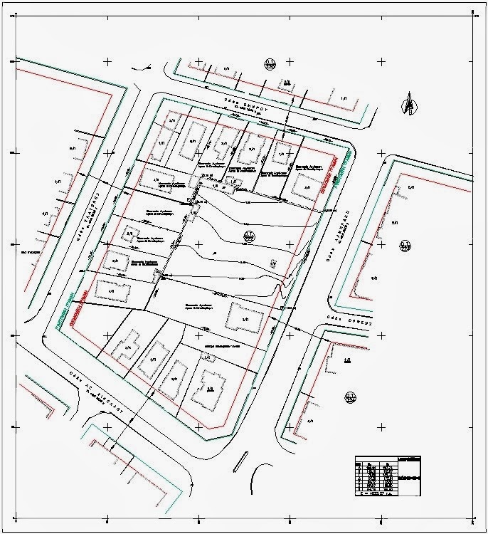
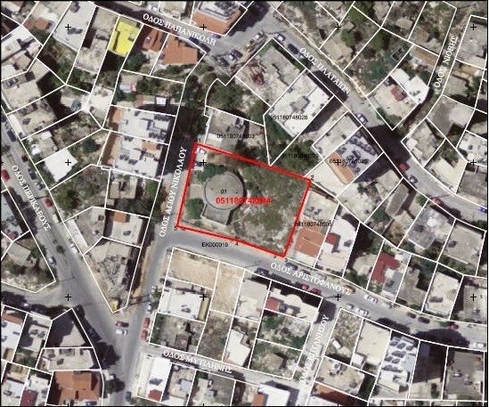
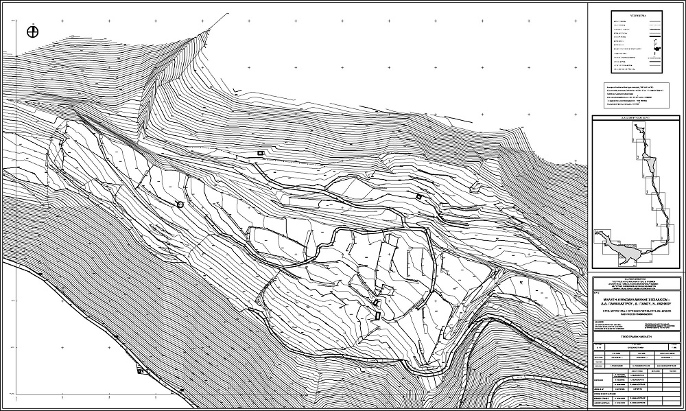
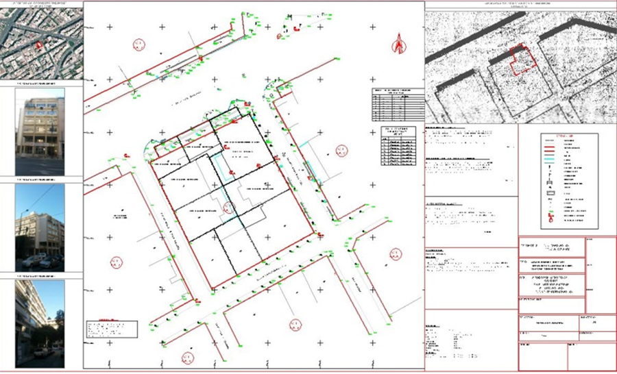
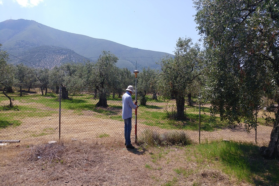
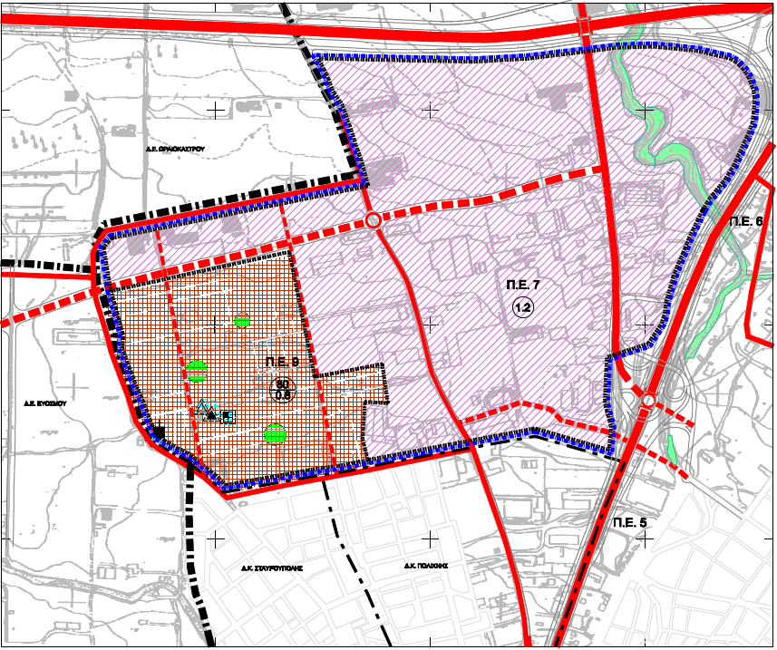
Topographic charts
Dependent topographical diagrams (EGSA 87), for notarial acts (with KYD), land register, forest office, building permits, arbitrary regulation, photovoltaics, partitions, demarcations, etc.
Land registry
Declarations of ownership, diagrams of geometric changes that occur during amalgamation, division, correction of boundaries in the spatial base of the National Cadastre, cadastral objections.

Electronic identity
Electronic Building Identity is mandatory for real estate transfers and energy saving programs. Collection of all necessary supporting documents and issuance of the certificate of completion.
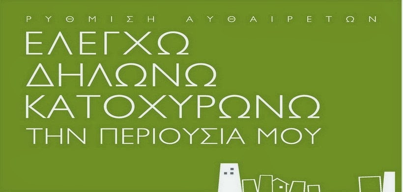
Arbitrary settings
Building legality check and issuance of electronic identity card, free autopsy and calculation of fines, collection of all necessary supporting documents from services.

Approval of small-scale works
Small-scale permits for fencing, external thermal insulation, scaffolding, roof replacement, tree felling, pergolas construction, internal layouts, changes to building facades.
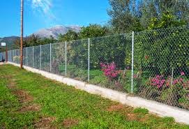
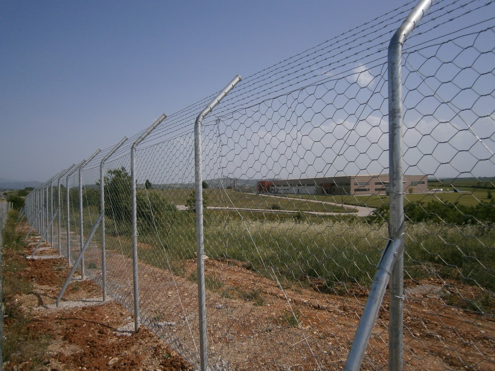
Fencing permits
Small-scale Permits for simple fencing with wire mesh and stakes and a Building Permit for paddocks and fences using reinforced concrete. The topography in EGSA 87 is necessary.

Real estate appraisals
Valuation of real estate (plots-plots-apartments) with the comparative method. "Estimation costs a little, but price knowledge pays off infinitely!"
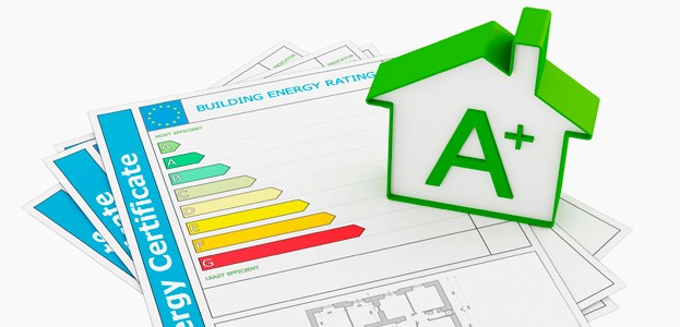
Energy certificates
Issuance of energy efficiency certificates for Buildings, Boilers & Air Conditioning Installations Energy inspections of class A, B and C for leases, sales, electronic identity and the Save program.

EXOIKONOMW program
File preparation for energy saving programs, issuance of energy efficiency certificate, project consultant services, workshops for the implementation of the interventions.

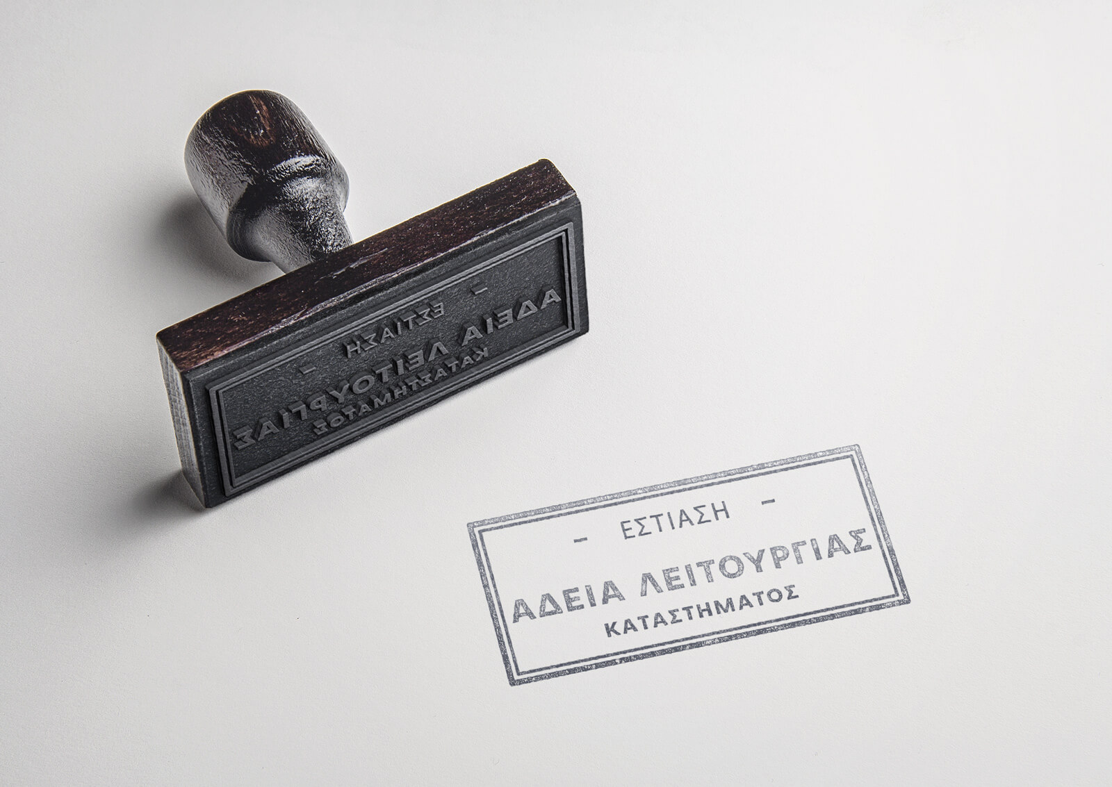
Store operating licenses
We fully undertake the process of issuing an operating license for any professional activity required such as Health Interest Stores, Doctors' Offices, Pharmacies, Tutoring Schools.
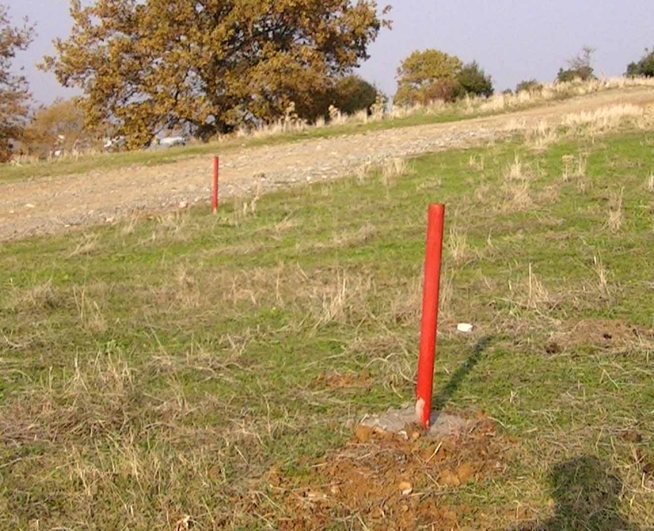
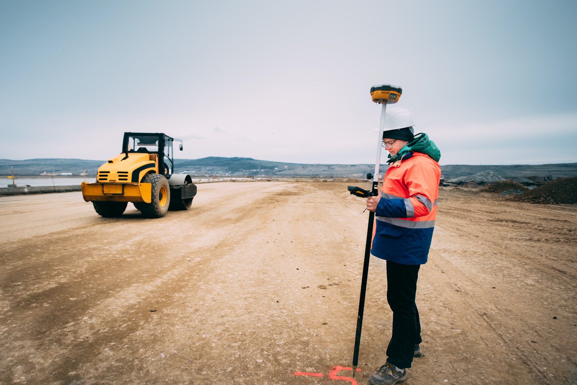
Boundaries
Demarcations-drawings on plots and parcels of land with modern topographical equipment (GNSS receivers and high-precision geodetic station), accompanied by a topographical diagram of boundary implementation.
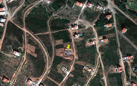
Locating properties
Locating town planning plots, distribution plots, land parcels, lots, all properties of the National Land Registry with the help of topographic contracts and coordinates EGSA 87.
Expertise
Elaboration of technical expert reports for judicial use. Exhibitions include photo interpretation exhibitions, topographical charts, high resolution orthophoto maps, high resolution digital aerial photographs.
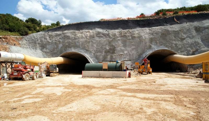
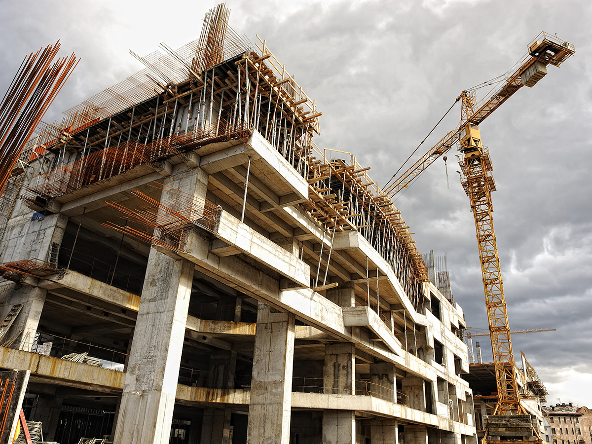
Construction site support
Technical projects, public and private. Significant experience in road construction projects, hydraulics, building and port projects, with topographical support in the field (imprints - drawings) as well as in the measuring part of the project (calculation of quantities - volumes etc.)
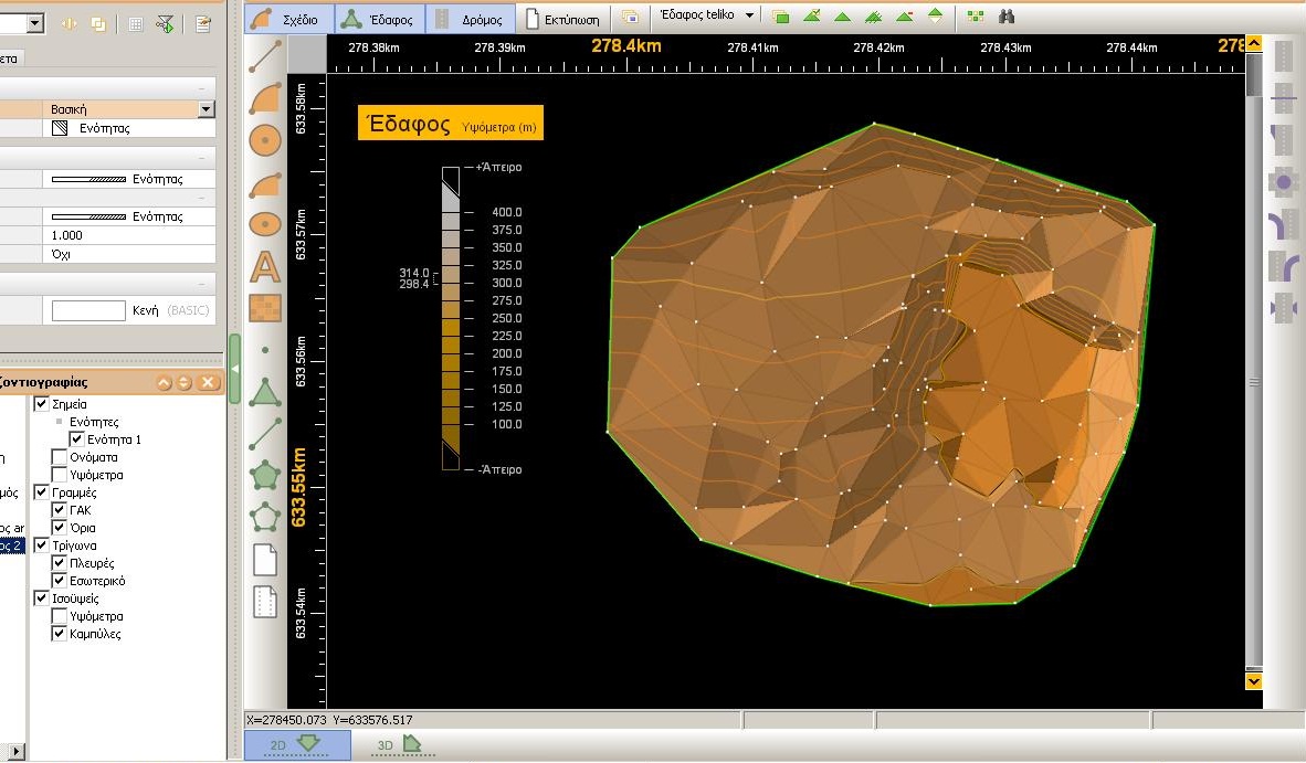
Altitude studies
Creation of a Digital Terrain Model, design of contour lines for a variety of applications with suitable software. Determination of geometric and orthometric elevations with high accuracy.
Calculation of earthworks
Calculation of cross-sectional areas, Calculation of the volume of backfills, Tables for calculation of backfills using the top program Soil 3.
Partitions
Separation of plots of land by subdivision or establishment of vertical ownership and separation of parcels of land by subdivision or by use in the plan and in the field, always based on urban planning legislation.
Measurements
Analytical measurements of quantities, volumes, construction projects, pre-measurements with appropriate software and specialized high-precision equipment.
Amendments to street plans
Displacement of building and landscaping lines that ensure the successful completion of real estate development projects within the plan and/or compensations. Compilation of the file with the necessary supporting documents, monitoring and support.
Urban planning information
Building factors, minimum face and plot area limits, completeness-buildability, evaluation of the property's location, boundaries of archeology areas, Natura areas, plots inside or outside the plan.
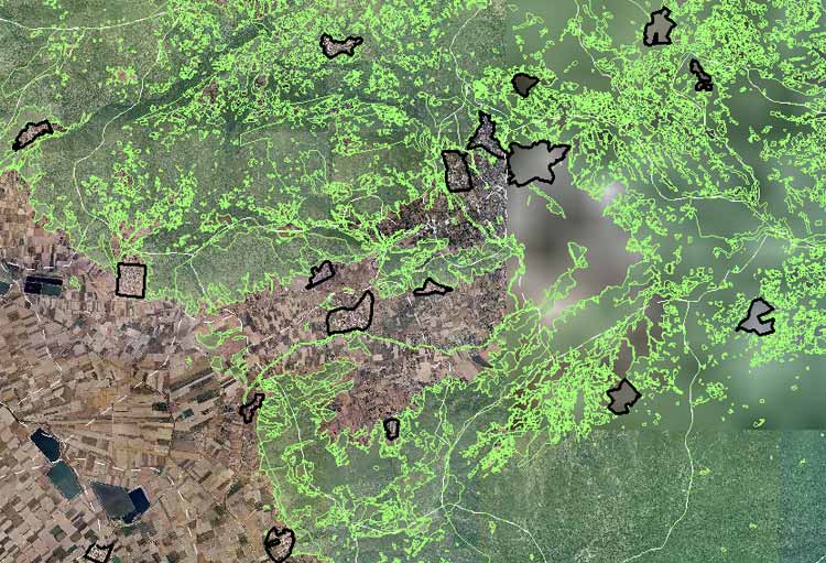
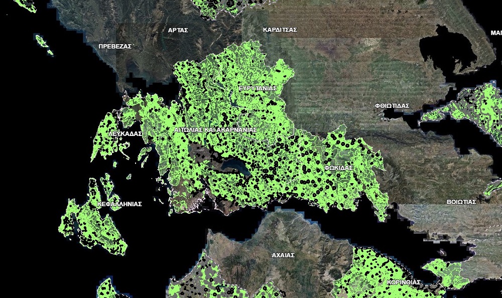
Forest maps
Locating parcels of land on the Forest Map, determining the character or form of the area, Submitting Objections or Submitting Requests for the Correction of Obvious Errors on the website of the Land Registry.
Portfolio
Photos from selected projects


Contact
We are available for new projects
Call me
Address
Eleftheriou Venizelou 19, Kalabaka 422 00 Greece
Email